2012
TQ5980 : Mar Dyke
taken 12 years ago, near to North Stifford, Thurrock, England
This is 1 of 3 images, with title Mar Dyke in this square
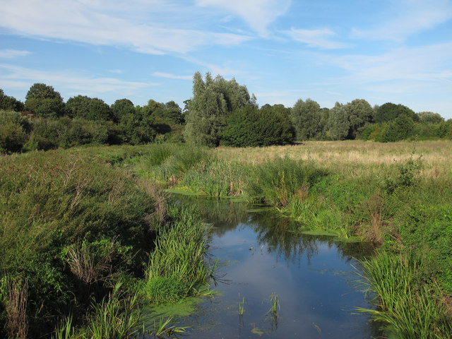
Mar Dyke
Seen from the bridge from Davy Down leading to the Mardyke Way.
The Mar Dyke is also known as Mardyke: The name means "boundary ditch".
The Mar Dyke is also known as Mardyke: The name means "boundary ditch".
The Mardyke Way
The Mardyke Way runs from Ship Lane, Aveley to Orsett Fen with a footpath and bridleway along the Mar Dyke, in Essex. Bordered by areas of woodland, this is an important wildlife corridor with pleasant views along a 7 mile walk.
 Map © Crown Copyright")
TIP: Click the map for more Large scale mapping
- Grid Square
- TQ5980, 85 images (more nearby 🔍)
- Photographer
- Roger Jones (more nearby)
- Date Taken
- Saturday, 8 September, 2012 (more nearby)
- Submitted
- Sunday, 9 September, 2012
- Subject Location
-
OSGB36:
 TQ 5916 8025 [10m precision]
WGS84: 51:29.9271N 0:17.4940E - Camera Location
-
OSGB36: TQ 59141 80223
- View Direction
- Northeast (about 45 degrees)