2012
SD5139 : The Roebuck Bowling Club
taken 12 years ago, near to Bilsborrow, Lancashire, England
This is 1 of 5 images, with title starting with The Roebuck in this square
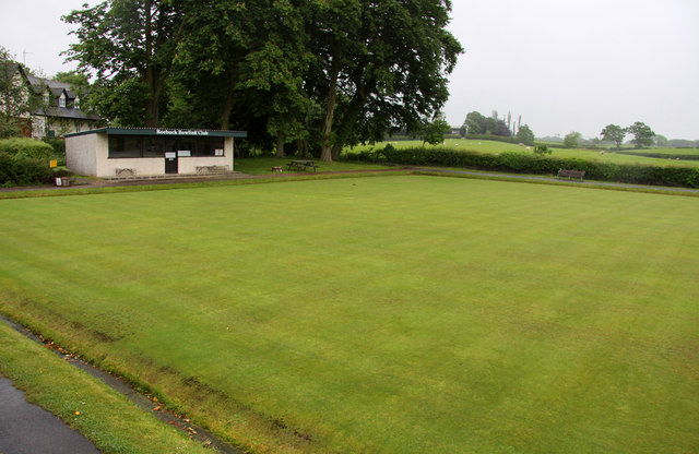
The Roebuck Bowling Club
 Map © Crown Copyright")
TIP: Click the map for more Large scale mapping
- Grid Square
- SD5139, 87 images (more nearby 🔍)
- Photographer
- Steve Daniels (more nearby)
- Date Taken
- Thursday, 7 June, 2012 (more nearby)
- Submitted
- Tuesday, 11 September, 2012
- Subject Location
-
OSGB36:
 SD 5103 3965 [10m precision]
WGS84: 53:51.0457N 2:44.7526W - Camera Location
-
OSGB36: SD 5101 3966
- View Direction
- East-southeast (about 112 degrees)