2012
SD2783 : Groffa Cragg Farm
taken 12 years ago, near to Gawthwaite, Cumbria, England
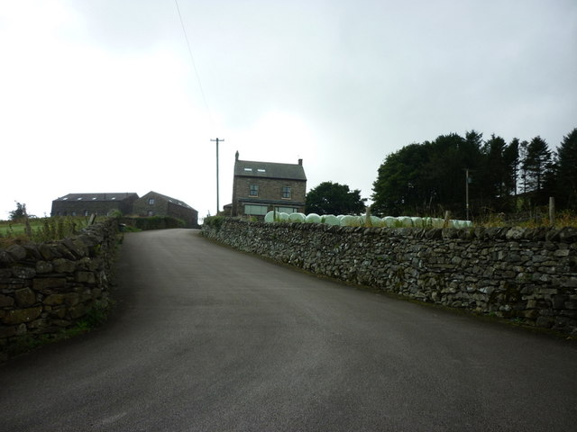
Groffa Cragg Farm
 Map © Crown Copyright")
TIP: Click the map for more Large scale mapping
- Grid Square
- SD2783, 43 images (more nearby 🔍)
- Photographer
- Ian S (more nearby)
- Date Taken
- Saturday, 8 September, 2012 (more nearby)
- Submitted
- Wednesday, 12 September, 2012
- Subject Location
-
OSGB36:
 SD 2716 8381 [10m precision]
WGS84: 54:14.6864N 3:7.1567W - Camera Location
-
OSGB36: SD 2717 8383
- View Direction
- South-southwest (about 202 degrees)