2012
NN4427 : A85, Glen Dochart
taken 12 years ago, 3 km from Benmore, Stirling, Scotland
This is 1 of 2 images, with title A85, Glen Dochart in this square
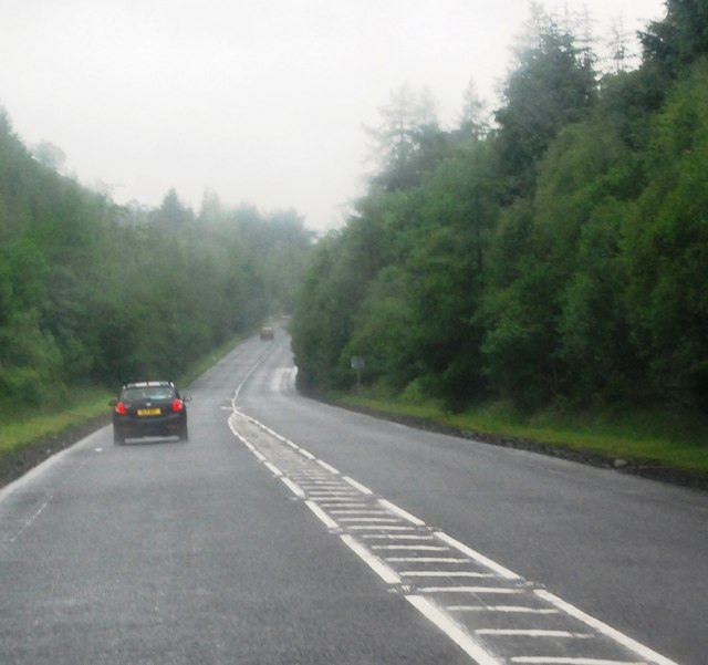
A85, Glen Dochart
The A85 is a major road in Scotland. It runs east from Oban along the south bank of Loch Etive, through Lochawe and Tyndrum, Crianlarich, Lochearnhead, St Fillans and Crieff before passing through Perth, where it crosses the River Tay via Perth Bridge.
Between Tyndrum and Crianlarich the road multiplexes with the A82, where it merges with the main north-south road.
See other images of A85 Road
Between Tyndrum and Crianlarich the road multiplexes with the A82, where it merges with the main north-south road.
See other images of A85 Road
 Map © Crown Copyright")
TIP: Click the map for more Large scale mapping
- Grid Square
- NN4427, 11 images (more nearby 🔍)
- Photographer
- N Chadwick (more nearby)
- Date Taken
- Saturday, 23 June, 2012 (more nearby)
- Submitted
- Wednesday, 12 September, 2012
- Subject Location
-
OSGB36:
 NN 4432 2737 [10m precision]
WGS84: 56:24.7689N 4:31.4977W - Camera Location
-
OSGB36: NN 4437 2738
- View Direction
- West-southwest (about 247 degrees)