2012
TQ0316 : River Arun
taken 12 years ago, near to Coldwaltham, West Sussex, England
This is 1 of 6 images, with title River Arun in this square
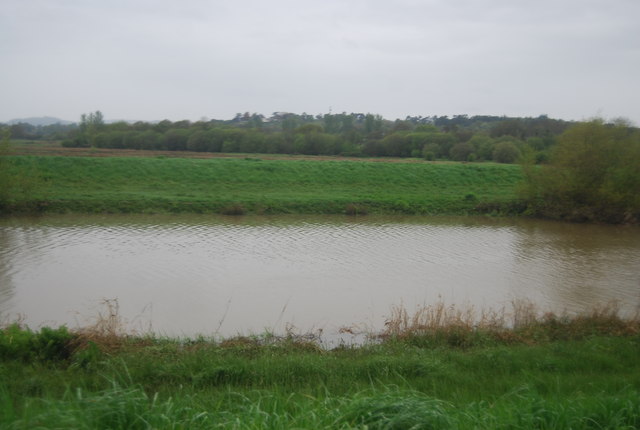
River Arun
The Arun rises 120 metres above sea level at its source in St Leonard's Forest near Horsham. It then runs 25 miles before reaching the sea at Littlehampton.
It's the second fastest flowing river in England with a 'flashy' nature responsive to heavy rainfall.
The river is tidal as far inland as Pallingham Quay, 18.25 miles upstream from Littlehampton.
See other images of River Arun
It's the second fastest flowing river in England with a 'flashy' nature responsive to heavy rainfall.
The river is tidal as far inland as Pallingham Quay, 18.25 miles upstream from Littlehampton.
See other images of River Arun
 Map © Crown Copyright")
TIP: Click the map for more Large scale mapping
- Grid Square
- TQ0316, 108 images (more nearby 🔍)
- Photographer
- N Chadwick (more nearby)
- Date Taken
- Sunday, 6 May, 2012 (more nearby)
- Submitted
- Thursday, 13 September, 2012
- Subject Location
-
OSGB36:
 TQ 0312 1613 [10m precision]
WGS84: 50:56.1245N 0:32.0302W - Camera Location
-
OSGB36: TQ 0317 1606
- View Direction
- North-northwest (about 337 degrees)