2012
SK2478 : Derwent valley fields
taken 12 years ago, near to Nether Padley, Derbyshire, England
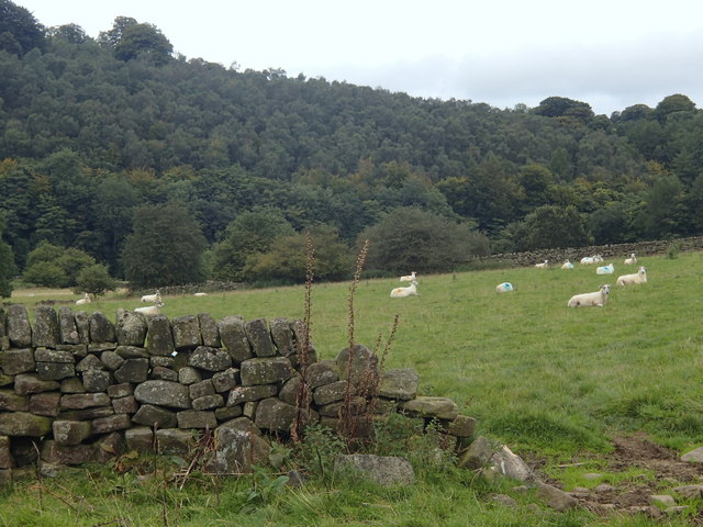
Derwent valley fields
View from a path towards Grindleford station from the river.
 Map © Crown Copyright")
TIP: Click the map for more Large scale mapping
- Grid Square
- SK2478, 76 images (more nearby 🔍)
- Photographer
- Andrew Hill (more nearby)
- Date Taken
- Wednesday, 12 September, 2012 (more nearby)
- Submitted
- Thursday, 13 September, 2012
- Subject Location
-
OSGB36:
 SK 2434 7874 [10m precision]
WGS84: 53:18.3031N 1:38.1723W - Camera Location
-
OSGB36: SK 2437 7870
- View Direction
- North-northwest (about 337 degrees)