2012
NS8673 : Peatrigend, shelter belt
taken 12 years ago, near to Slamannan, Falkirk, Scotland
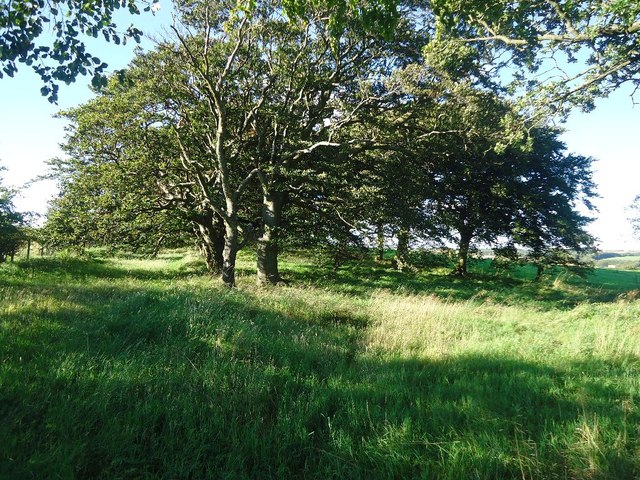
Peatrigend, shelter belt
 Map © Crown Copyright")
TIP: Click the map for more Large scale mapping
- Grid Square
- NS8673, 12 images (more nearby 🔍)
- Photographer
- Robert Murray (more nearby)
- Date Taken
- Wednesday, 12 September, 2012 (more nearby)
- Submitted
- Thursday, 13 September, 2012
- Subject Location
-
OSGB36:
 NS 8661 7311 [10m precision]
WGS84: 55:56.2575N 3:49.0079W - Camera Location
-
OSGB36: NS 8663 7307
- View Direction
- North-northwest (about 337 degrees)