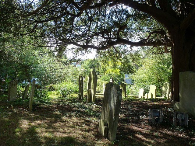
TR1557 : Canterbury - St Martin's Church - churchyard
taken 12 years ago, near to Canterbury, Kent, England
See shared descriptions below:
St Martin's in Canterbury can quite reasonably claim to be the oldest church in England. The pagan King Æthelbert of Kent married the Christian Frankish princess Bertha (see TR1557 : Statue of Bertha, Queen of Kent) in c.580AD. He allowed her to continue worshipping according to her faith. With her own priest, Liudhard (later a bishop), she would leave the city walls of Canterbury (via the portal now known as Queningate) and walk the short distance to the building which stood here, a church dating from Roman times, when much of England had been Christian.
Any Roman parts of the current building have been much built over, but from 580AD until now a church has stood here and worship has continued. Its chancel dates from the C7th but was much altered in the C14th.
EH listing here Link
 Map © Crown Copyright")
- Grid Square
- TR1557, 1354 images (more nearby 🔍)
- Photographer
- Rob Farrow (more nearby)
- Date Taken
- Wednesday, 12 September, 2012 (more nearby)
- Submitted
- Saturday, 15 September, 2012
- Subject Location
-
OSGB36:
 TR 1583 5774 [10m precision]
WGS84: 51:16.6742N 1:5.5923E - Camera Location
-
OSGB36: TR 1583 5775
- View Direction
- South-southwest (about 202 degrees)