2012
SK2582 : Path below Callow Bank
taken 12 years ago, 3 km from Hathersage, Derbyshire, England
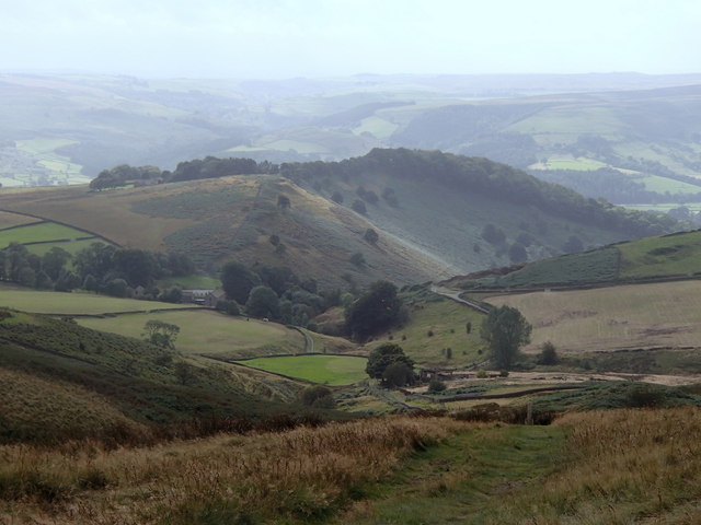
Path below Callow Bank
The path allows for a rapid descent towards Hathersage from Higger Tor.
 Map © Crown Copyright")
TIP: Click the map for more Large scale mapping
- Grid Square
- SK2582, 124 images (more nearby 🔍)
- Photographer
- Andrew Hill (more nearby)
- Date Taken
- Friday, 14 September, 2012 (more nearby)
- Submitted
- Sunday, 16 September, 2012
- Subject Location
-
OSGB36:
 SK 2539 8218 [10m precision]
WGS84: 53:20.1553N 1:37.2105W - Camera Location
-
OSGB36: SK 2544 8221
- View Direction
- West-southwest (about 247 degrees)