2012
NS7688 : Lewis Hill, Stirlingshire
taken 12 years ago, near to Shielbrae, Stirling, Scotland
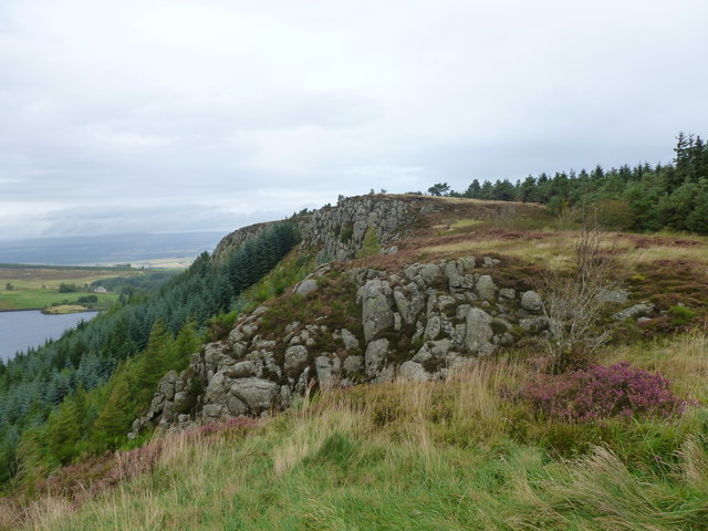
Lewis Hill, Stirlingshire
Steep forested slopes drop down to the North Third Reservoir, which lies below the escarpment.
 Map © Crown Copyright")
TIP: Click the map for more Large scale mapping
- Grid Square
- NS7688, 30 images (more nearby 🔍)
- Photographer
- Alan O'Dowd (more nearby)
- Date Taken
- Sunday, 16 September, 2012 (more nearby)
- Submitted
- Monday, 17 September, 2012
- Subject Location
-
OSGB36:
 NS 7606 8872 [10m precision]
WGS84: 56:4.5112N 3:59.5671W - Camera Location
-
OSGB36: NS 7602 8865
- View Direction
- North-northeast (about 22 degrees)