2012
SX7981 : Kelly Mine - the dry
taken 12 years ago, near to Lustleigh, Devon, England
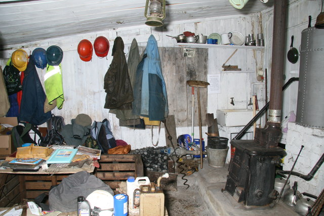
Kelly Mine - the dry
This is the shed where the miners change and get dry and in the southwest is usually termed a 'dry'. Love the atmosphere.
 Map © Crown Copyright")
TIP: Click the map for more Large scale mapping
- Grid Square
- SX7981, 92 images (more nearby 🔍)
- Photographer
- Chris Allen (more nearby)
- Date Taken
- Sunday, 2 September, 2012 (more nearby)
- Submitted
- Sunday, 23 September, 2012
- Subject Location
-
OSGB36:
 SX 7949 8178 [10m precision]
WGS84: 50:37.3941N 3:42.3006W - Camera Location
-
OSGB36: SX 7949 8178
- View Direction
- Northwest (about 315 degrees)