2012
NN2752 : Sign for the Glencoe Mountain Centre, A82
taken 12 years ago, near to Allt Maol Ruainidh [water Feature], Highland, Great Britain
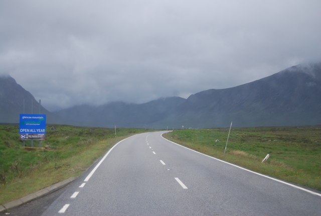
Sign for the Glencoe Mountain Centre, A82
 Map © Crown Copyright")
TIP: Click the map for more Large scale mapping
- Grid Square
- NN2752, 32 images (more nearby 🔍)
- Photographer
- N Chadwick (more nearby)
- Date Taken
- Saturday, 23 June, 2012 (more nearby)
- Submitted
- Monday, 24 September, 2012
- Subject Location
-
OSGB36:
 NN 2771 5297 [10m precision]
WGS84: 56:38.2056N 4:48.6487W - Camera Location
-
OSGB36: NN 2777 5293
- View Direction
- West-northwest (about 292 degrees)