2012
SD4107 : Flooding in Dyers Lane
taken 12 years ago, near to Ormskirk, Lancashire, England
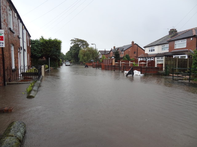
Flooding in Dyers Lane
Heavy and prolonged rain resulted in flooding in Dyers Lane, for the first time in many years. By the time this photo was taken, Hurlston Brook, which runs alongside Dyers Lane, was overflowing. Some residents have been evacuated.
 Map © Crown Copyright")
TIP: Click the map for more Large scale mapping
- Grid Square
- SD4107, 29 images (more nearby 🔍)
- Photographer
- Bryan Pready (more nearby)
- Date Taken
- Tuesday, 25 September, 2012 (more nearby)
- Submitted
- Tuesday, 25 September, 2012
- Subject Location
-
OSGB36:
 SD 412 078 [100m precision]
WGS84: 53:33.8265N 2:53.3448W - Camera Location
-
OSGB36: SD 411 079
- View Direction
- Southeast (about 135 degrees)