2012
NO7095 : The Platties
taken 12 years ago, near to Banchory, Aberdeenshire, Scotland
This is 1 of 4 images, with title The Platties in this square
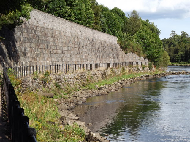
The Platties
Popular walkway alongside the River Dee to the east of Banchory town centre. Above the stone embankment is the former Deeside Line (railway).
Link
Link
 Map © Crown Copyright")
TIP: Click the map for more Large scale mapping
- Grid Square
- NO7095, 170 images (more nearby 🔍)
- Photographer
- Colin Smith (more nearby)
- Date Taken
- Friday, 7 September, 2012 (more nearby)
- Submitted
- Tuesday, 25 September, 2012
- Subject Location
-
OSGB36:
 NO 7069 9569 [10m precision]
WGS84: 57:3.0802N 2:29.0862W - Camera Location
-
OSGB36: NO 7059 9565
- View Direction
- East-northeast (about 67 degrees)