2012
SD4108 : Hurlston Brook
taken 12 years ago, near to Ormskirk, Lancashire, England
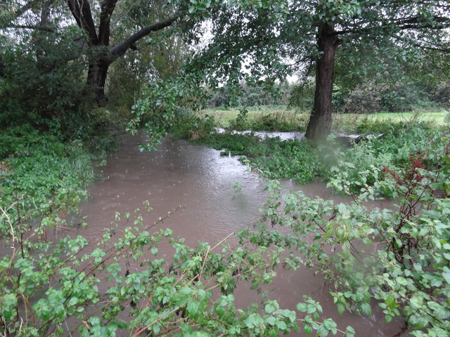
Hurlston Brook
In full flood after 24 hours of heavy rain.
 Map © Crown Copyright")
TIP: Click the map for more Large scale mapping
- Grid Square
- SD4108, 191 images (more nearby 🔍)
- Photographer
- Bryan Pready (more nearby)
- Date Taken
- Tuesday, 25 September, 2012 (more nearby)
- Submitted
- Thursday, 27 September, 2012
- Subject Location
-
OSGB36:
 SD 410 081 [100m precision]
WGS84: 53:34.0086N 2:53.5117W - Camera Location
-
OSGB36: SD 410 082
- View Direction
- SOUTH (about 180 degrees)