2012
NJ9005 : West Burn of Rubislaw
taken 12 years ago, near to Mannofield, Aberdeen, Scotland
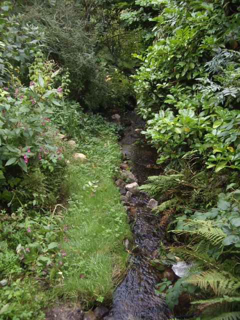
West Burn of Rubislaw
As it enters Johnston Gardens, Aberdeen.
 Map © Crown Copyright")
TIP: Click the map for more Large scale mapping
- Grid Square
- NJ9005, 87 images (more nearby 🔍)
- Photographer
- Stanley Howe (more nearby)
- Date Taken
- Thursday, 27 September, 2012 (more nearby)
- Submitted
- Friday, 28 September, 2012
- Subject Location
-
OSGB36:
 NJ 9099 0508 [10m precision]
WGS84: 57:8.1922N 2:9.0296W - Camera Location
-
OSGB36: NJ 9098 0509
- View Direction
- East-southeast (about 112 degrees)