2012
NO0450 : Track junction east of Loch Ordie
taken 12 years ago, 3 km from Riechip, Perth And Kinross, Scotland
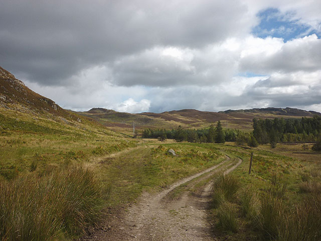
Track junction east of Loch Ordie
 Map © Crown Copyright")
TIP: Click the map for more Large scale mapping
- Grid Square
- NO0450, 15 images (more nearby 🔍)
- Photographer
- Karl and Ali (more nearby)
- Date Taken
- Wednesday, 19 September, 2012 (more nearby)
- Submitted
- Sunday, 30 September, 2012
- Subject Location
-
OSGB36:
 NO 0416 5004 [10m precision]
WGS84: 56:37.9412N 3:33.8361W - Camera Location
-
OSGB36: NO 0416 5004
- View Direction
- EAST (about 90 degrees)