2012
SK1283 : Lane below Mam Tor
taken 12 years ago, near to Barber Booth, Derbyshire, England
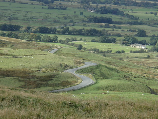
Lane below Mam Tor
View down to the lane descending into Edale, from close to the summit of Mam Tor.
 Map © Crown Copyright")
TIP: Click the map for more Large scale mapping
- Grid Square
- SK1283, 270 images (more nearby 🔍)
- Photographer
- Andrew Hill (more nearby)
- Date Taken
- Friday, 28 September, 2012 (more nearby)
- Submitted
- Monday, 1 October, 2012
- Subject Location
-
OSGB36:
 SK 1218 8384 [10m precision]
WGS84: 53:21.0786N 1:49.1092W - Camera Location
-
OSGB36: SK 1272 8359
- View Direction
- West-northwest (about 292 degrees)