2012
TQ2450 : South Albert Road
taken 12 years ago, near to Reigate, Surrey, England
This is 1 of 15 images, with title South Albert Road in this square
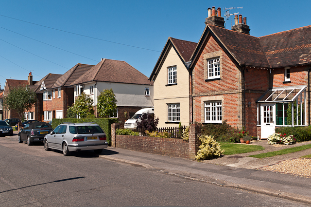
South Albert Road
Mixed age housing. The pair of cottages on the right dates from the 1860s and Victorian maps show a number of widely spaced pairs of cottages of this type on both the south side of Albert Road North and the north side of South Albert Road (TQ2450 : Albert Road North includes one of these pairs in Albert Road North). Also in the road at that time was a pub, the White Horse. This layout largely remained until after the Second World War (when e.g. the house beyond was built), with further small developments in two places in the late 1990s/early 2000s. One of these is the pair of houses towards the left of the photo, which were built on a plot where the White Horse had stood (although it had ceased to be a pub a long time previously, being used for housing). The house in the far background is in Evesham Road North, an extension of South Albert Road dating from Edwardian times (see TQ2450 : South Albert Road for further explanation).
 Map © Crown Copyright")
TIP: Click the map for more Large scale mapping
- Grid Square
- TQ2450, 499 images (more nearby 🔍)
- Photographer
- Ian Capper (more nearby)
- Date Taken
- Saturday, 18 August, 2012 (more nearby)
- Submitted
- Monday, 1 October, 2012
- Subject Location
-
OSGB36:
 TQ 248 507 [100m precision]
WGS84: 51:14.5219N 0:12.8079W - Camera Location
-
OSGB36: TQ 248 507
- View Direction
- West-northwest (about 292 degrees)