2007
SK2436 : Windlehill Pond
taken 17 years ago, near to Trusley, Derbyshire, England
This is 1 of 3 images, with title starting with Windlehill in this square
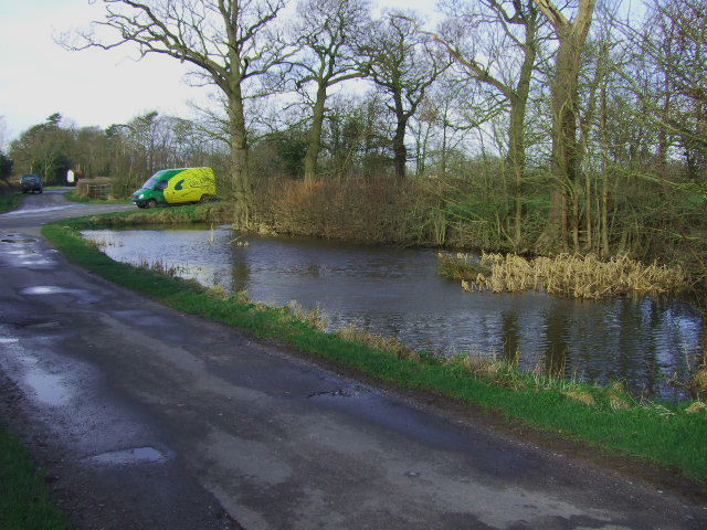
Windlehill Pond
The pond at the crossroads next to Windlehill Farm.
 Map © Crown Copyright")
TIP: Click the map for more Large scale mapping
- Grid Square
- SK2436, 28 images (more nearby 🔍)
- Photographer
- John Poyser (more nearby)
- Date Taken
- Friday, 19 January, 2007 (more nearby)
- Submitted
- Saturday, 20 January, 2007
- Subject Location
-
OSGB36:
 SK 242 362 [100m precision]
WGS84: 52:55.3711N 1:38.4631W - Camera Location
-
OSGB36: SK 242 362
- View Direction
- West-northwest (about 292 degrees)