2012
SM7328 : Paths and plateau east of St David's Head
taken 12 years ago, near to Treleddyd-Fawr, Pembrokeshire/Sir Benfro, Wales
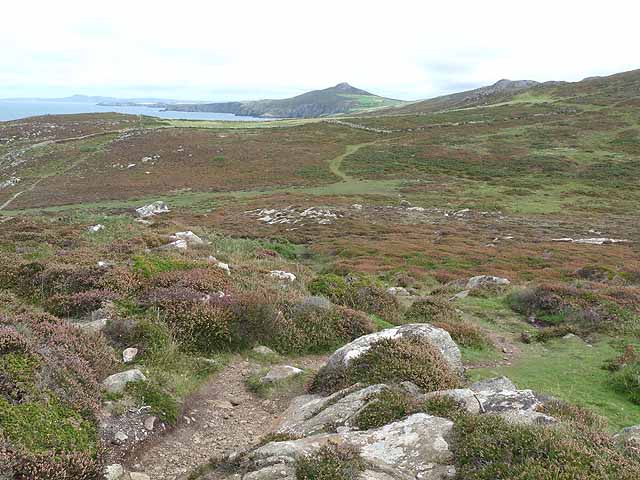
Paths and plateau east of St David's Head
 Map © Crown Copyright")
TIP: Click the map for more Large scale mapping
- Grid Square
- SM7328, 60 images (more nearby 🔍)
- Photographer
- Oliver Dixon (more nearby)
- Date Taken
- Wednesday, 12 September, 2012 (more nearby)
- Submitted
- Wednesday, 3 October, 2012
- Subject Location
-
OSGB36:
 SM 7351 2869 [10m precision]
WGS84: 51:54.6343N 5:17.6615W - Camera Location
-
OSGB36: SM 73451 28633
- View Direction
- Northeast (about 45 degrees)