2012
TQ0469 : Thameside, Penton Hook
taken 12 years ago, near to Laleham, Surrey, England
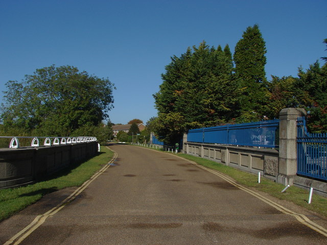
Thameside, Penton Hook
The road bridge over the uptake cut that supplies the Queen Mary reservoir just over 1Km from the Thames. The meter house to measure the amount of water uplifted is behind the blue fence.
 Map © Crown Copyright")
TIP: Click the map for more Large scale mapping
- Grid Square
- TQ0469, 87 images (more nearby 🔍)
- Photographer
- Alan Hunt (more nearby)
- Date Taken
- Thursday, 4 October, 2012 (more nearby)
- Submitted
- Friday, 5 October, 2012
- Subject Location
-
OSGB36:
 TQ 0481 6931 [10m precision]
WGS84: 51:24.7880N 0:29.6583W - Camera Location
-
OSGB36: TQ 0482 6930
- View Direction
- Northwest (about 315 degrees)