2012
TQ0322 : Wey South Path off Horsebridge Hill
taken 12 years ago, 4 km NW of Codmore Hill, West Sussex, England
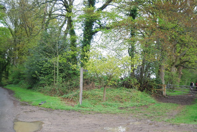
Wey South Path off Horsebridge Hill
A 36 mile path from Millmead Lock, Guildford to Amberley in West Sussex. The Path follows the towpath of the Godalming Navigation along the River Wey to its confluence with the Wey & Arun Junction Canal, crossing the North Downs Way National Trail near the start. Wherever possible the route follows the towpath, supplemented by paths, roads and disused railway (Downs Link), to reach and continue beside the Arun Navigation to the River Arun whence the path continues to meet the South Downs Way National Trail above Amberley. Several sections of the canals have been restored. The canals were originally built for military purposes to provide a waterway linking the Thames and the south coast, but were soon supplanted by the railways and some sections fell into disrepair.
See other images of Wey South Path
See other images of Wey South Path
 Map © Crown Copyright")
TIP: Click the map for more Large scale mapping
- Grid Square
- TQ0322, 34 images (more nearby 🔍)
- Photographer
- N Chadwick (more nearby)
- Date Taken
- Sunday, 6 May, 2012 (more nearby)
- Submitted
- Friday, 5 October, 2012
- Subject Location
-
OSGB36:
 TQ 0305 2256 [10m precision]
WGS84: 50:59.5933N 0:31.9808W - Camera Location
-
OSGB36: TQ 0302 2255
- View Direction
- East-northeast (about 67 degrees)