2012
SU3515 : River Test from Conagar Bridge
taken 12 years ago, near to Testwood, Hampshire, England
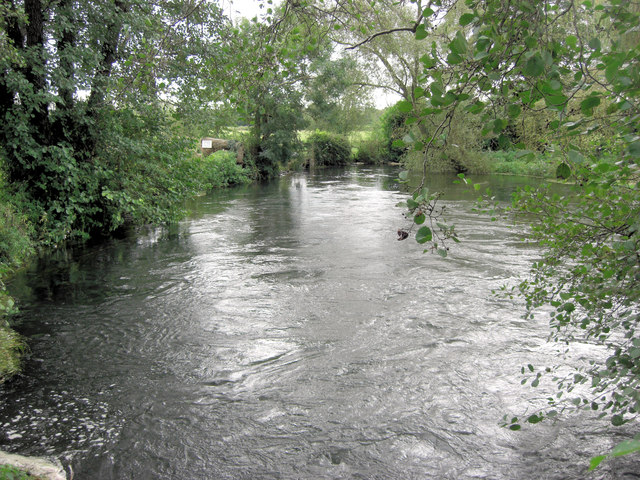
River Test from Conagar Bridge
This bridge carries Mill Lane which, as its name suggests, is a cul-de-sac terminating at Nursling Mill.
 Map © Crown Copyright")
TIP: Click the map for more Large scale mapping
- Grid Square
- SU3515, 32 images (more nearby 🔍)
- Photographer
- Stuart Logan (more nearby)
- Date Taken
- Friday, 5 October, 2012 (more nearby)
- Submitted
- Saturday, 6 October, 2012
- Subject Location
-
OSGB36:
 SU 3555 1574 [10m precision]
WGS84: 50:56.4008N 1:29.7245W - Camera Location
-
OSGB36: SU 3555 1578
- View Direction
- SOUTH (about 180 degrees)