2012
SX6458 : Below Weatherdon Hill
taken 12 years ago, near to Harford, Devon, England
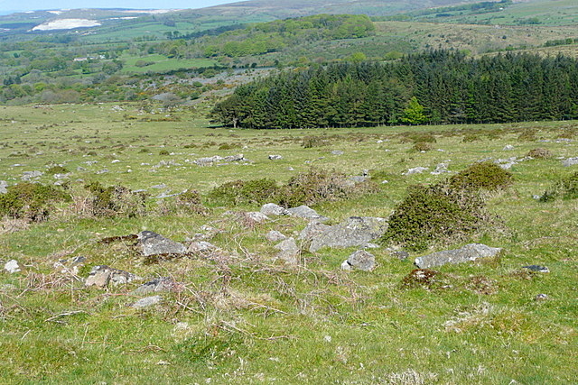
Below Weatherdon Hill
I am standing on the former tramway, the route of the Two Moors Way, looking at the adjacent rocky moorland. In the trees is Butter Brook reservoir in SX6459
 Map © Crown Copyright")
TIP: Click the map for more Large scale mapping
- Grid Square
- SX6458, 21 images (more nearby 🔍)
- Photographer
- Graham Horn (more nearby)
- Date Taken
- Sunday, 13 May, 2012 (more nearby)
- Submitted
- Monday, 8 October, 2012
- Subject Location
-
OSGB36:
 SX 647 589 [100m precision]
WGS84: 50:24.8606N 3:54.3406W - Camera Location
-
OSGB36: SX 6482 5892
- View Direction
- West-northwest (about 292 degrees)