2012
TQ4666 : Keswick Road
taken 12 years ago, near to Orpington, Bromley, England
This is 1 of 2 images, with title Keswick Road in this square
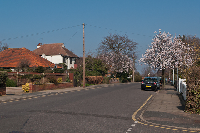
Keswick Road
Part of the Knoll area of Orpington, the layout of which was set out in around 1910.
 Map © Crown Copyright")
TIP: Click the map for more Large scale mapping
- Grid Square
- TQ4666, 634 images (more nearby 🔍)
- Photographer
- Ian Capper (more nearby)
- Date Taken
- Thursday, 15 March, 2012 (more nearby)
- Submitted
- Tuesday, 9 October, 2012
- Subject Location
-
OSGB36:
 TQ 460 665 [100m precision]
WGS84: 51:22.7775N 0:5.8309E - Camera Location
-
OSGB36: TQ 460 665
- View Direction
- North-northeast (about 22 degrees)