2012
TQ4566 : St Kilda Road
taken 12 years ago, near to Orpington, Bromley, England
This is 1 of 2 images, with title St Kilda Road in this square
St Kilda Road
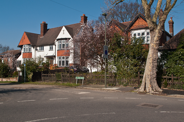
St Kilda Road connects Stanley Road with Broxbourne Road, and presumably to avoid it being used as a cut through has remained unsurfaced. It is shown as a stub in the 1920 OS map leading onto the edge of the golf course where Broxbourne Road and the other roads higher up the Knoll now stand, but no houses are shown on it, suggesting initial development in the interwar years. It now contains 10 houses in all, some from that period, some more recent, and all are of different styles.
Seen here at its junction with Stanley Road.
Seen here at its junction with Stanley Road.
 Map © Crown Copyright")
TIP: Click the map for more Large scale mapping
- Grid Square
- TQ4566, 249 images (more nearby 🔍)
- Photographer
- Ian Capper (more nearby)
- Date Taken
- Thursday, 15 March, 2012 (more nearby)
- Submitted
- Tuesday, 9 October, 2012
- Subject Location
-
OSGB36:
 TQ 459 664 [100m precision]
WGS84: 51:22.6951N 0:5.6995E - Camera Location
-
OSGB36: TQ 459 664
- View Direction
- North-northwest (about 337 degrees)