2012
SK5237 : Benchmark on wall of Wollaton Road
taken 12 years ago, near to Beeston, Nottinghamshire, England
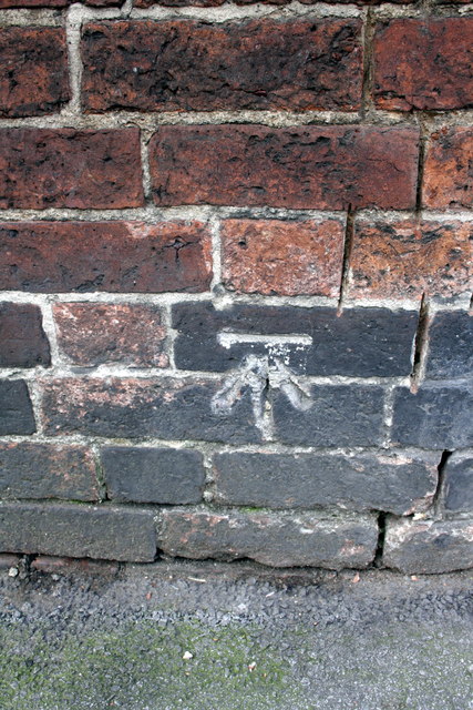
Benchmark on wall of Wollaton Road
Ordnance Survey cut mark benchmark described on the Bench Mark Database at Link
 Map © Crown Copyright")
TIP: Click the map for more Large scale mapping
- Grid Square
- SK5237, 343 images (more nearby 🔍)
- Photographer
- Roger Templeman (more nearby)
- Date Taken
- Wednesday, 11 April, 2012 (more nearby)
- Submitted
- Wednesday, 10 October, 2012
- Subject Location
-
OSGB36:
 SK 5258 3723 [10m precision]
WGS84: 52:55.7946N 1:13.1546W - Camera Location
-
OSGB36: SK 5258 3723
- View Direction
- Southwest (about 225 degrees)