2012
NT8426 : Witchcleuch Burn
taken 12 years ago, near to Kirk Yetholm, Scottish Borders, Scotland
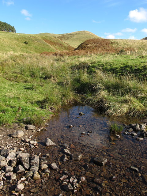
Witchcleuch Burn
This pretty burn rises close to the Pennine Way between Whitelaw Nick and the Stob Stanes and is seen here just before it joins the Halter Burn. For a selection of free to download walking routes in the area visit Link
 Map © Crown Copyright")
TIP: Click the map for more Large scale mapping
- Grid Square
- NT8426, 21 images (more nearby 🔍)
- Photographer
- Geoff Holland (more nearby)
- Date Taken
- Tuesday, 9 October, 2012 (more nearby)
- Submitted
- Wednesday, 10 October, 2012
- Subject Location
-
OSGB36:
 NT 8413 2682 [10m precision]
WGS84: 55:32.0906N 2:15.1798W - Camera Location
-
OSGB36: NT 8410 2682
- View Direction
- EAST (about 90 degrees)