2012
SK2169 : Holme Bank Chert Mine
taken 12 years ago, near to Bakewell, Derbyshire, England
This is 1 of 16 images, with title Holme Bank Chert Mine in this square
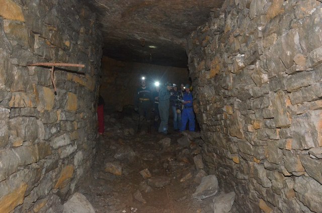
Holme Bank Chert Mine
A view of the mine which is dry. The walls are holding back tonnes of waste limestone SK2169 : Holme Bank Chert Mine. This is the PDMHS meet.
 Map © Crown Copyright")
TIP: Click the map for more Large scale mapping
- Grid Square
- SK2169, 156 images (more nearby 🔍)
- Photographer
- Ashley Dace (more nearby)
- Date Taken
- Tuesday, 9 October, 2012 (more nearby)
- Submitted
- Wednesday, 10 October, 2012
- Subject Location
-
OSGB36:
 SK 2145 6930 [10m precision]
WGS84: 53:13.2194N 1:40.8124W