2012
SP9942 : Farmland near Lower Shelton
taken 12 years ago, near to Lower Shelton, Central Bedfordshire, England
This is 1 of 2 images, with title Farmland near Lower Shelton in this square
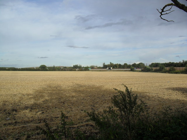
Farmland near Lower Shelton
A field of stubble with the upgraded A421 in the distance.
 Map © Crown Copyright")
TIP: Click the map for more Large scale mapping
- Grid Square
- SP9942, 24 images (more nearby 🔍)
- Photographer
- Burgess Von Thunen (more nearby)
- Date Taken
- Tuesday, 25 September, 2012 (more nearby)
- Submitted
- Monday, 15 October, 2012
- Subject Location
-
OSGB36:
 SP 9994 4260 [10m precision]
WGS84: 52:4.3655N 0:32.5964W - Camera Location
-
OSGB36: SP 9985 4261
- View Direction
- EAST (about 90 degrees)