2012
TL1202 : The Donkey Field
taken 12 years ago, near to Bricket Wood, Hertfordshire, England
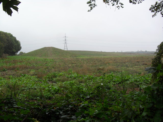
The Donkey Field
The donkey (donkey not in the photo) has been joined by a large bund protecting the good residents of Oakwood Road from the noise of the M25.
 Map © Crown Copyright")
TIP: Click the map for more Large scale mapping
- Grid Square
- TL1202, 11 images (more nearby 🔍)
- Photographer
- Burgess Von Thunen (more nearby)
- Date Taken
- Thursday, 11 October, 2012 (more nearby)
- Submitted
- Wednesday, 17 October, 2012
- Subject Location
-
OSGB36:
 TL 1258 0290 [10m precision]
WGS84: 51:42.8126N 0:22.3127W - Camera Location
-
OSGB36: TL 1248 0283
- View Direction
- Northeast (about 45 degrees)