2012
TF4630 : Farmland and drainage ditch
taken 12 years ago, near to Gedney Drove End, Lincolnshire, England
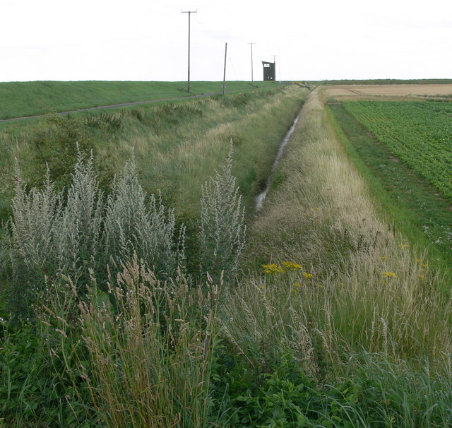
Farmland and drainage ditch
On the sea bank in the distance, is the easternmost observation tower at RAF Holbeach bombing range.
 Map © Crown Copyright")
TIP: Click the map for more Large scale mapping
- Grid Square
- TF4630, 45 images (more nearby 🔍)
- Photographer
- Mat Fascione (more nearby)
- Date Taken
- Saturday, 28 July, 2012 (more nearby)
- Submitted
- Sunday, 21 October, 2012
- Subject Location
-
OSGB36:
 TF 467 302 [100m precision]
WGS84: 52:50.9700N 0:10.6300E - Camera Location
-
OSGB36: TF 463 303
- View Direction
- East-southeast (about 112 degrees)