2012
TF4729 : Path across the farmland to Gedney Drove End
taken 12 years ago, near to Gedney Drove End, Lincolnshire, England
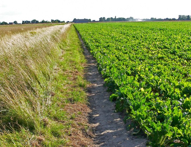
Path across the farmland to Gedney Drove End
 Map © Crown Copyright")
TIP: Click the map for more Large scale mapping
- Grid Square
- TF4729, 35 images (more nearby 🔍)
- Photographer
- Mat Fascione (more nearby)
- Date Taken
- Saturday, 28 July, 2012 (more nearby)
- Submitted
- Sunday, 21 October, 2012
- Subject Location
-
OSGB36:
 TF 470 296 [100m precision]
WGS84: 52:50.6685N 0:10.8911E - Camera Location
-
OSGB36: TF 471 297
- View Direction
- Southwest (about 225 degrees)