2012
NY8671 : Brocolitia
taken 12 years ago, 3 km from Simonburn, Northumberland, England
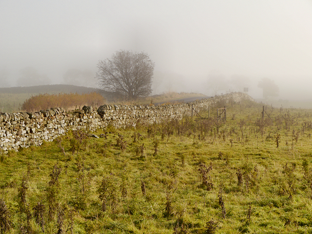
Brocolitia
The B6318, which follows the course of Hadrian's Wall at this point, disappears into the mist. Looking eastwards, towards Carrawbrough from the car park at Brocolitia.
 Map © Crown Copyright")
TIP: Click the map for more Large scale mapping
- Grid Square
- NY8671, 76 images (more nearby 🔍)
- Photographer
- David Dixon (more nearby)
- Date Taken
- Friday, 19 October, 2012 (more nearby)
- Submitted
- Monday, 22 October, 2012
- Subject Location
-
OSGB36:
 NY 8610 7128 [10m precision]
WGS84: 55:2.1504N 2:13.1410W - Camera Location
-
OSGB36: NY 8605 7126
- View Direction
- East-northeast (about 67 degrees)