2012
SX4965 : Field west of Roborough Down
taken 11 years ago, near to Milton Combe, Devon, England
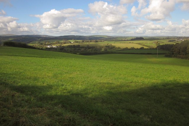
Field west of Roborough Down
From Buckland Monachorum Footpath 42, looking down the slopes of a side valley of the Milton Brook. The farm on the left is Blowiscombe Barton, in SX4966.
 Map © Crown Copyright")
TIP: Click the map for more Large scale mapping
- Grid Square
- SX4965, 4 images (more nearby 🔍)
- Photographer
- Derek Harper (more nearby)
- Date Taken
- Saturday, 20 October, 2012 (more nearby)
- Submitted
- Wednesday, 24 October, 2012
- Subject Location
-
OSGB36:
 SX 499 655 [100m precision]
WGS84: 50:28.2035N 4:6.9891W - Camera Location
-
OSGB36: SX 4999 6549
- View Direction
- Northwest (about 315 degrees)