2012
SK5034 : Cycle Route 6 entering Nottinghamshire
taken 12 years ago, near to Toton, Nottinghamshire, England
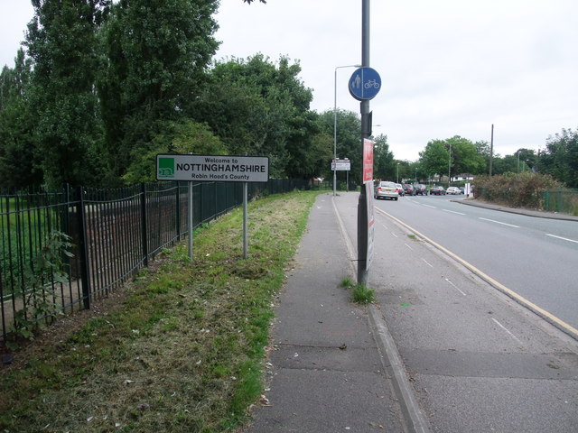
Cycle Route 6 entering Nottinghamshire
The border is formed by the 'River' Erewash (the parapet of the bridge over this small stream is visible to the left of the sign). On entering the county, one is immediately in the county town of Nottingham, which sits in the far south-west corner of its county. (Unlike neighbouring Leicestershire with its centrally placed Leicester)
 Map © Crown Copyright")
TIP: Click the map for more Large scale mapping
- Grid Square
- SK5034, 220 images (more nearby 🔍)
- Photographer
- Tim Heaton (more nearby)
- Date Taken
- Sunday, 2 September, 2012 (more nearby)
- Submitted
- Wednesday, 24 October, 2012
- Subject Location
-
OSGB36:
 SK 5028 3415 [10m precision]
WGS84: 52:54.1467N 1:15.2359W - Camera Location
-
OSGB36: SK 5026 3410
- View Direction
- North-northeast (about 22 degrees)