2012
SU7168 : Whitley Wood
taken 12 years ago, near to Three Mile Cross, Wokingham, England
This is 1 of 2 images, with title Whitley Wood in this square
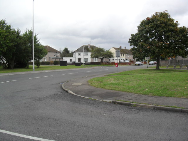
Whitley Wood
1950s council houses.
 Map © Crown Copyright")
TIP: Click the map for more Large scale mapping
- Grid Square
- SU7168, 61 images (more nearby 🔍)
- Photographer
- Burgess Von Thunen (more nearby)
- Date Taken
- Wednesday, 3 October, 2012 (more nearby)
- Submitted
- Friday, 26 October, 2012
- Subject Location
-
OSGB36:
 SU 7186 6898 [10m precision]
WGS84: 51:24.9176N 0:58.0839W - Camera Location
-
OSGB36: SU 7185 6896
- View Direction
- North-northeast (about 22 degrees)