2007
SK4262 : Queensway
taken 17 years ago, near to Pilsley, Derbyshire, England
This is 1 of 5 images, with title Queensway in this square
Queensway
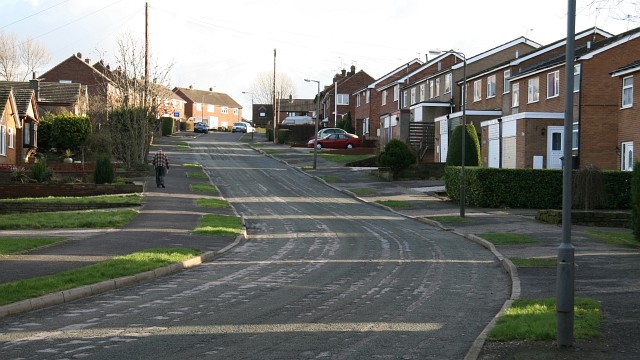
The photograph shows Queensway. The road joining from the left (just ahead of the pedestrian) is SK4262 : Damon Close.
The SK4262 : Bungalows on the left are typical of many built in the village.
To see a photograph from near to, but behind, this viewpoint, looking in the opposite direction, click here SK4262 : Queensway.
To see a more northerly (behind the viewpoint) photograph of Queensway looking back, toward the viewpoint, from Queensways junction with Pear Tree Road click here SK4262 : Queensway.
To see a more southerly (ahead) photograph of Queensway but looking back, toward this viewpoint, click here SK4262 : Queensway.
 Map © Crown Copyright")
TIP: Click the map for more Large scale mapping
- Grid Square
- SK4262, 249 images (more nearby 🔍)
- Photographer
- Alan Walker (more nearby)
- Date Taken
- Monday, 22 January, 2007 (more nearby)
- Submitted
- Wednesday, 24 January, 2007
- Subject Location
-
OSGB36:
 SK 422 622 [100m precision]
WGS84: 53:9.3265N 1:22.1694W - Camera Location
-
OSGB36: SK 421 622
- View Direction
- Southeast (about 135 degrees)