1990
SK2119 : Flooded Pasturelands
taken 33 years ago, near to Walton-on-Trent, Derbyshire, England
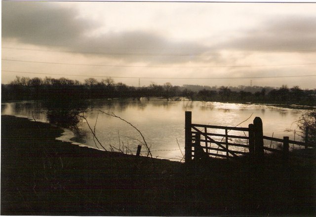
Flooded Pasturelands
View across waterlogged fields south of Branston.
 Map © Crown Copyright")
TIP: Click the map for more Large scale mapping
- Grid Square
- SK2119, 32 images (more nearby 🔍)
- Photographer
- Chris Eaton (more nearby)
- Date Taken
- Friday, 23 November, 1990 (more nearby)
- Submitted
- Wednesday, 24 January, 2007
- Subject Location
-
OSGB36:
 SK 213 195 [100m precision]
WGS84: 52:46.3820N 1:41.1073W - Camera Location
-
OSGB36: SK 216 199
- View Direction
- Southwest (about 225 degrees)