2012
SP2117 : Arable plateau
taken 12 years ago, near to Great Rissington, Gloucestershire, England
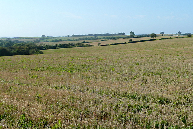
Arable plateau
This shows most of the south-west corner of the square, arable farmland on the edge of the Little Rissington plateau. To get into the square I had to go a few metres off the bridleway onto an arable field, fortunately harvested and left fallow.
 Map © Crown Copyright")
TIP: Click the map for more Large scale mapping
- Grid Square
- SP2117, 4 images (more nearby 🔍)
- Photographer
- Graham Horn (more nearby)
- Date Taken
- Saturday, 15 September, 2012 (more nearby)
- Submitted
- Monday, 29 October, 2012
- Subject Location
-
OSGB36:
 SP 218 175 [100m precision]
WGS84: 51:51.3401N 1:41.0928W - Camera Location
-
OSGB36: SP 2199 1799
- View Direction
- South-southwest (about 202 degrees)