2007
NY4395 : Cockplay Hill
taken 17 years ago, near to Twislehope Burn [water Feature], Scottish Borders, Great Britain
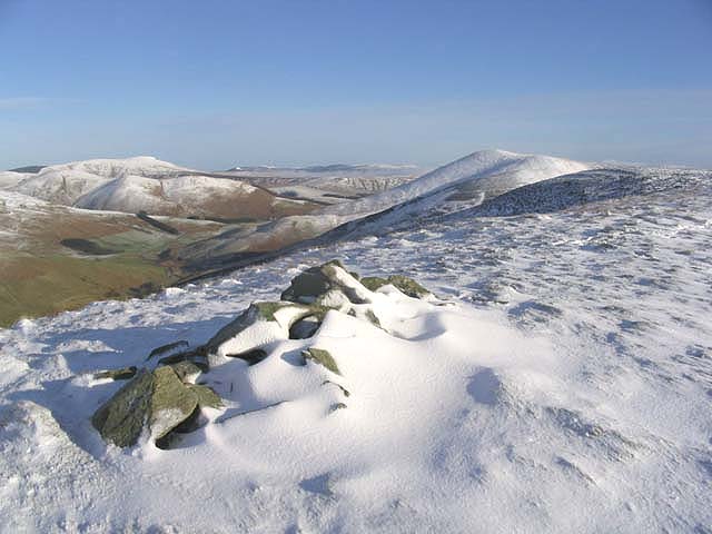
Cockplay Hill
Some stones mark the high point of the northwest ridge of Cockplay Hill. Din Fell is in the background centre right.
 Map © Crown Copyright")
TIP: Click the map for more Large scale mapping
- Grid Square
- NY4395, 9 images (more nearby 🔍)
- Photographer
- Walter Baxter (more nearby)
- Date Taken
- Thursday, 25 January, 2007 (more nearby)
- Submitted
- Thursday, 25 January, 2007
- Subject Location
-
OSGB36:
 NY 4369 9519 [10m precision]
WGS84: 55:14.8599N 2:53.2363W - View Direction
- East-northeast (about 67 degrees)