2011
SO4810 : Western boundary of Mitchel Troy, Monmouthshire
taken 13 years ago, near to Mitchel Troy, Monmouthshire/Sir Fynwy, Wales
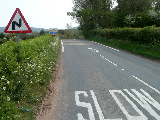
Western boundary of Mitchel Troy, Monmouthshire
Formerly part of the A40, the road is now a relatively quiet route through the village of Mitchel Troy. Most traffic uses the modern-day A40, to the north.
Mitchel Troy is in NE Monmouthshire, about 3 miles SW of the town of Monmouth.
The Troy part of its name is a variant of Trothy (Troddi in Welsh), a tributary of the River Wye. There are two theories about Mitchel - it could be a variant of Michael, from the name of the village church,
St Michael and All Angels, or perhaps a variant of the Old English mickle, (much or great) to distinguish the village from the nearby manor of Troy Parva.
 Map © Crown Copyright")
TIP: Click the map for more Large scale mapping
- Grid Square
- SO4810, 57 images (more nearby 🔍)
- Photographer
- Jaggery (more nearby)
- Date Taken
- Sunday, 1 May, 2011 (more nearby)
- Submitted
- Sunday, 4 November, 2012
- Subject Location
-
OSGB36:
 SO 4896 1031 [10m precision]
WGS84: 51:47.3463N 2:44.4833W - Camera Location
-
OSGB36: SO 4893 1030
- View Direction
- East-northeast (about 67 degrees)