2012
NF7420 : Drainage ditch, Dalabrog an Iar
taken 12 years ago, near to Dalabrog, South Uist & Benbecula, Na h-Eileanan an Iar, Scotland
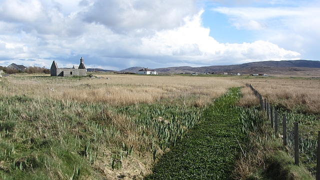
Drainage ditch, Dalabrog an Iar
Behind the machair there is an area of poorly drained but still cultivated land. Slow moving drains link the lochs here.
 Map © Crown Copyright")
TIP: Click the map for more Large scale mapping
- Grid Square
- NF7420, 4 images (more nearby 🔍)
- Photographer
- Richard Webb (more nearby)
- Date Taken
- Tuesday, 10 April, 2012 (more nearby)
- Submitted
- Tuesday, 6 November, 2012
- Subject Location
-
OSGB36:
 NF 7435 2096 [10m precision]
WGS84: 57:9.8102N 7:23.3443W - Camera Location
-
OSGB36: NF 7432 2099
- View Direction
- Southeast (about 135 degrees)