2012
NT6282 : Peffer Sands
taken 11 years ago, near to Scoughall, East Lothian, Scotland
This is 1 of 18 images, with title Peffer Sands in this square
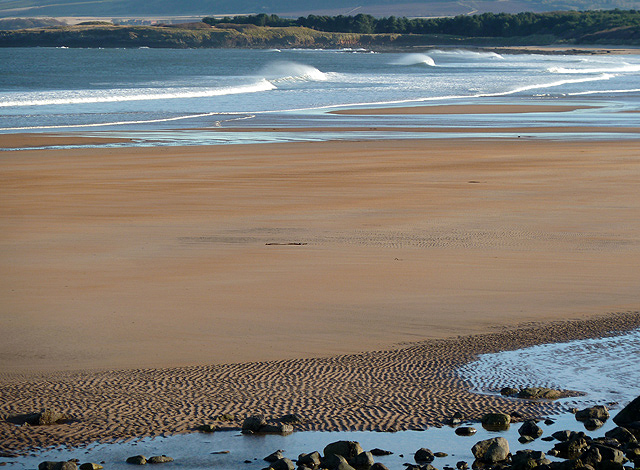
Peffer Sands
This was viewed from the edge of the dune system at Scoughall Links.
 Map © Crown Copyright")
TIP: Click the map for more Large scale mapping
- Grid Square
- NT6282, 65 images (more nearby 🔍)
- Photographer
- Walter Baxter (more nearby)
- Date Taken
- Thursday, 8 November, 2012 (more nearby)
- Submitted
- Friday, 9 November, 2012
- Subject Location
-
OSGB36:
 NT 6215 8280 [10m precision]
WGS84: 56:2.1949N 2:36.5415W - Camera Location
-
OSGB36: NT 6202 8292
- View Direction
- Southeast (about 135 degrees)