2012
SJ5948 : Farmland north of Wrenbury-cum-Frith, Cheshire
taken 11 years ago, near to Wrenbury, Cheshire East, England
This is 1 of 6 images, with title Farmland north of Wrenbury-cum-Frith, Cheshire in this square
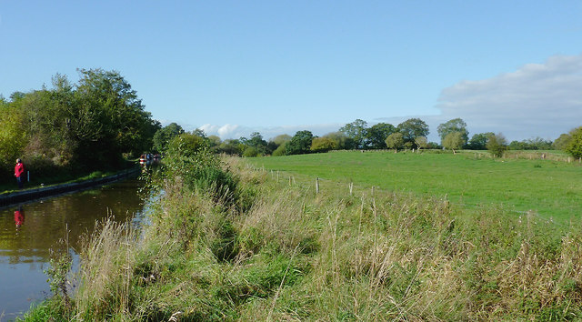
Farmland north of Wrenbury-cum-Frith, Cheshire
This is the scene west of Wrenbury Church lift bridge on the Llangollen Canal.
 Map © Crown Copyright")
TIP: Click the map for more Large scale mapping
- Grid Square
- SJ5948, 85 images (more nearby 🔍)
- Photographer
- Roger D Kidd (more nearby)
- Date Taken
- Saturday, 20 October, 2012 (more nearby)
- Submitted
- Saturday, 10 November, 2012
- Subject Location
-
OSGB36:
 SJ 593 480 [100m precision]
WGS84: 53:1.7172N 2:36.4900W - Camera Location
-
OSGB36: SJ 594 480
- View Direction
- West-northwest (about 292 degrees)