2007
ST9405 : Farming on Tarrant Rushton airfield
taken 17 years ago, near to Tarrant Rushton, Dorset, England
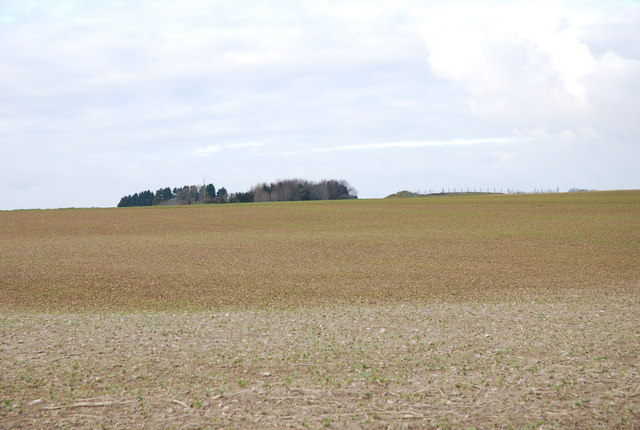
Farming on Tarrant Rushton airfield
This is on the site of Tarrant Rushton airfield, a base used in WWII and now returned to farming. Please see other photos for this area. Runways, etc are still quite clearly marked on the maps.
 Map © Crown Copyright")
TIP: Click the map for more Large scale mapping
- Grid Square
- ST9405, 13 images (more nearby 🔍)
- Photographer
- Toby (more nearby)
- Date Taken
- Saturday, 27 January, 2007 (more nearby)
- Submitted
- Saturday, 27 January, 2007
- Subject Location
-
OSGB36:
 ST 947 057 [100m precision]
WGS84: 50:51.0530N 2:4.5653W - Camera Location
-
OSGB36: ST 949 053
- View Direction
- North-northwest (about 337 degrees)