2012
SU5854 : Lane to Upper Wootton or A339
taken 11 years ago, near to Upper Wootton, Hampshire, England
This is 1 of 2 images, with title Lane to Upper Wootton or A339 in this square
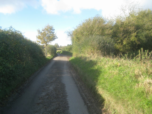
Lane to Upper Wootton or A339
 Map © Crown Copyright")
TIP: Click the map for more Large scale mapping
- Grid Square
- SU5854, 248 images (more nearby 🔍)
- Photographer
- Mr Ignavy (more nearby)
- Date Taken
- Monday, 5 November, 2012 (more nearby)
- Submitted
- Tuesday, 13 November, 2012
- Subject Location
-
OSGB36:
 SU 5839 5428 [10m precision]
WGS84: 51:17.0805N 1:9.8485W - Camera Location
-
OSGB36: SU 5843 5425
- View Direction
- Northwest (about 315 degrees)