2012
NZ2364 : Benchmark on gatepost at Westgate Road entrance to cemetery
taken 12 years ago, near to Newcastle Upon Tyne, England
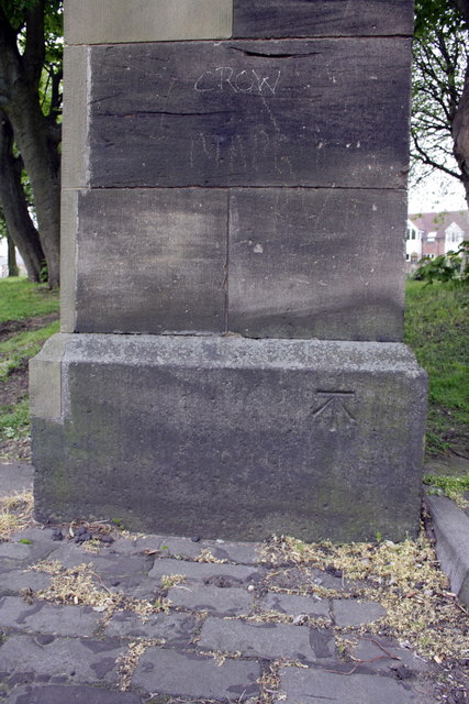
Benchmark on gatepost at Westgate Road entrance to cemetery
Ordnance Survey cut mark benchmark described on the Bench Mark Database at Link
 Map © Crown Copyright")
TIP: Click the map for more Large scale mapping
- Grid Square
- NZ2364, 312 images (more nearby 🔍)
- Photographer
- Roger Templeman (more nearby)
- Date Taken
- Monday, 21 May, 2012 (more nearby)
- Submitted
- Monday, 19 November, 2012
- Subject Location
-
OSGB36:
 NZ 2369 6420 [10m precision]
WGS84: 54:58.3115N 1:37.8877W - Camera Location
-
OSGB36: NZ 2369 6420
- View Direction
- South-southwest (about 202 degrees)