2012
TQ7724 : River Rother towards Robertsbridge
taken 11 years ago, near to Bodiam, East Sussex, England
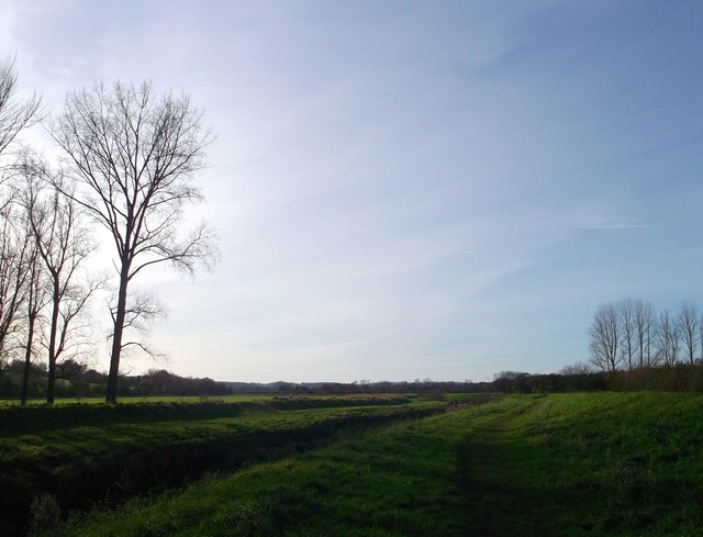
River Rother towards Robertsbridge
This is seen from a footpath beside the river on a floodbank heading towards Junction Road.
River Rother
The River Rother runs for 35 miles from Rotherfield, East Sussex, entering Kent after Bodiam where it follows the county border to Wittersham, where it rejoins East Sussex to the mouth at Rye.
There are two other River Rothers in Yorkshire and in Hampshire to West Sussex.
 Map © Crown Copyright")
TIP: Click the map for more Large scale mapping
- Grid Square
- TQ7724, 89 images (more nearby 🔍)
- Photographer
- David Anstiss (more nearby)
- Date Taken
- Sunday, 18 November, 2012 (more nearby)
- Submitted
- Wednesday, 21 November, 2012
- Subject Location
-
OSGB36:
 TQ 7786 2492 [10m precision]
WGS84: 50:59.7713N 0:31.9938E - Camera Location
-
OSGB36: TQ 7790 2493
- View Direction
- West-southwest (about 247 degrees)